
價格:免費
更新日期:2020-07-21
檔案大小:70.3 MB
目前版本:1.3.0
版本需求:系統需求:iOS 10.0 或以後版本。相容裝置:iPhone、iPad、iPod touch。
支援語言:英語
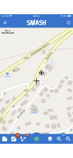
SMASH is a digital field mapping application developed to perform fast qualitative engineering/geologic surveys and GIS data collection.
The main aim of SMASH is to have a tool that:
* fits in any pocket and can be always at hand, when needed
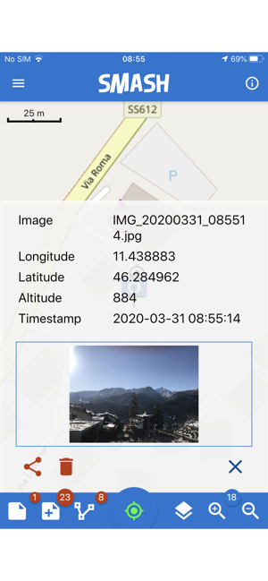
* gives the possibility to take geo-referenced and possibly orientated pictures during a survey, with further possibility to import them into GIS applications like gvSIG
* is able to easily exploit an Internet connection, if available
* is extremely easy to use and intuitive, providing just few important functions
The main features available in SMASH are:
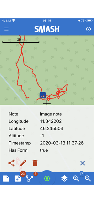
* geo-referenced notes
* geo-referenced and oriented pictures
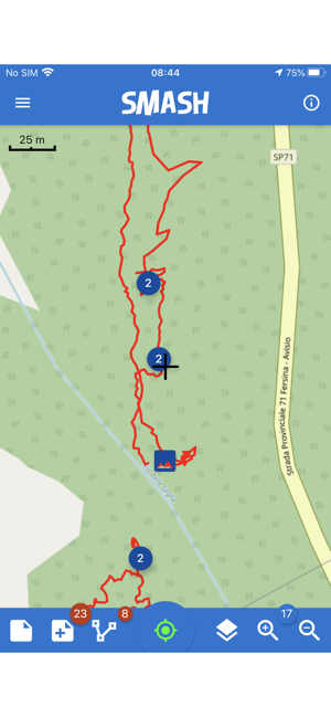
* gps track logging
* form-based data surveys
* easy export of collected data
* a map view for navigation with support for raster tiles and gpx vector data
* geopackage (OGC standard) support
支援平台:iPhone, iPad